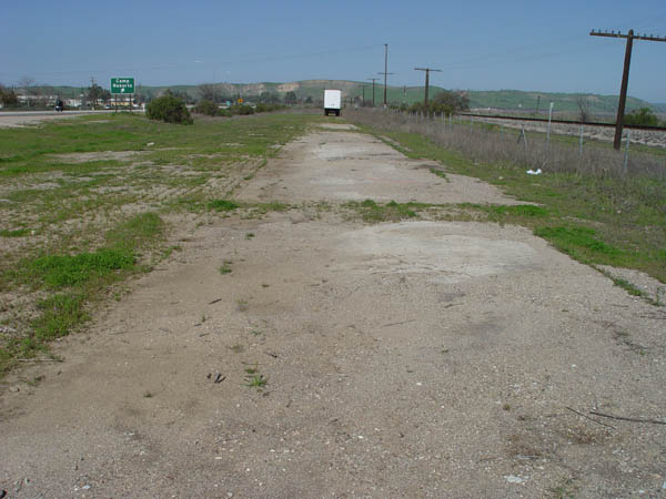
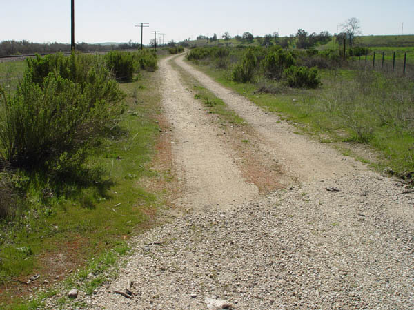
View looking north about 1 mile south of the Bradley road exit.
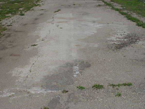
A closer view of the same showing
striping on the old highway.
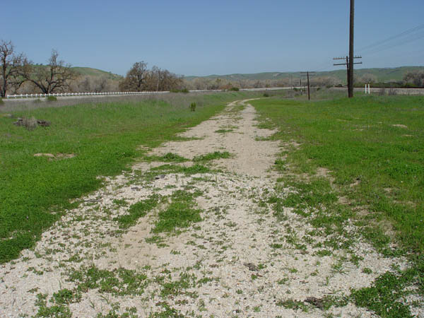
View looking north at a place
about 1/2 mile north of the above photos.
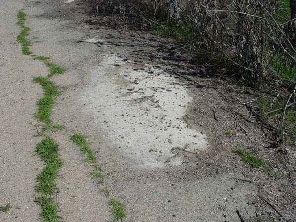
View looking east at a portion
of the old highway. This is near the Bradley road off-ramp.
Same location as the above photo.
View looking south.
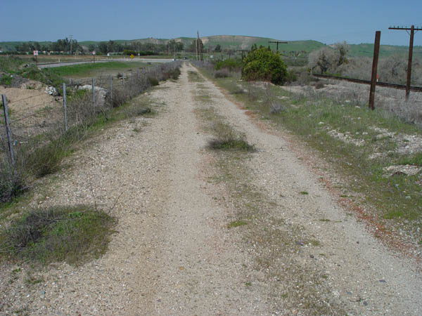
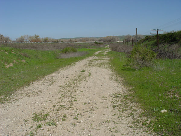
This is looking north just north
of the Bradley Rd. exit. Bradley road is to the left, and the SP tracks
are on the right.
Similar view as above photo,
a little further north.
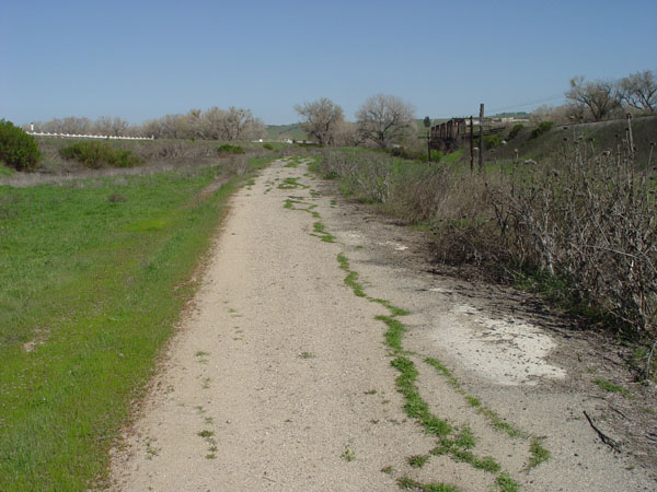
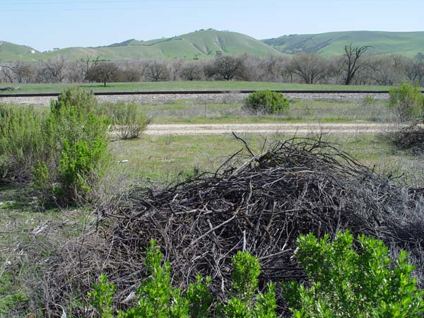
View facing north as the old
road approaches the Salinas River. The SP bridge can be seen on the right.
Same as above, showing close-up
of exposed cement.