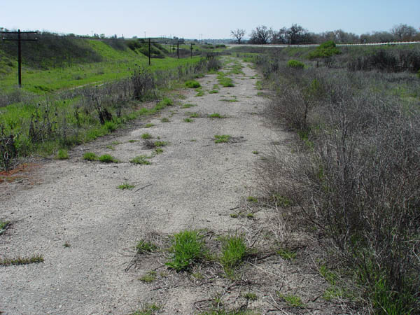
View looking south of the old road as it leads up to where the old bridge used to be.
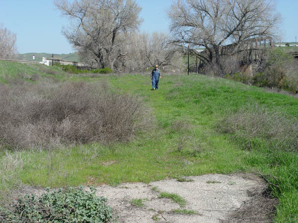
View looking north just south
of the old bridge location. That old farmer in the shot is my dad, William
Wilson Jr.. He's standing over where the old road is.
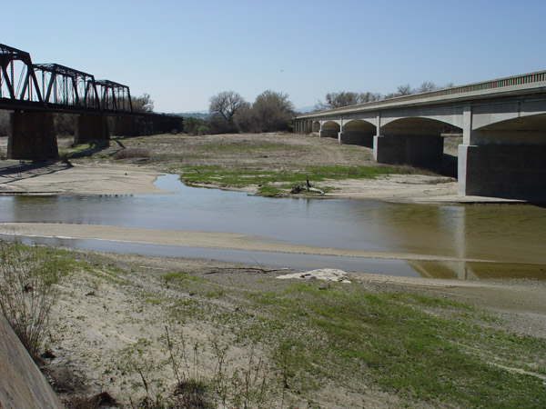
View facing south from the north
side of the river. The new bridge is on the right, the SP bridge is to
the left, and a piece of the old bridge is visible in the lower center.
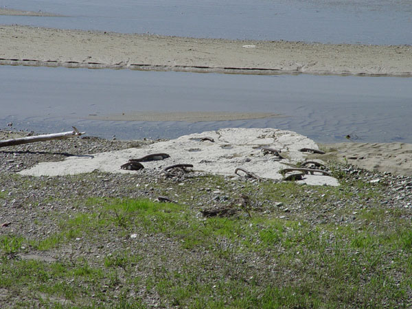
Close-up view of the remains
of the original bridge.
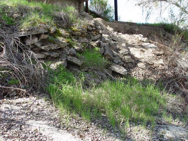
Old chunks of the cement road
used as rip-rap on the south end of the current bridge.

More of the rip-rap.
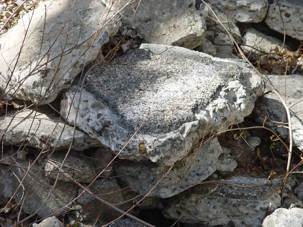
Close-up view of the pieces
of the old road. Note the very coarse cement matrix and the asphalt layer
on top.
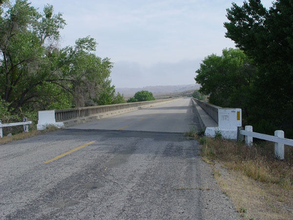
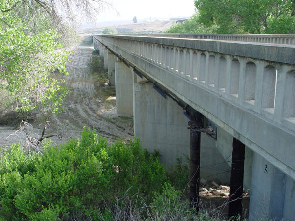
View looking north of the south
end of the current S. Bradley bridge.
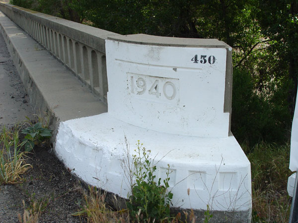
Construction on this bridge
was completed in 1940.
Another view of the current
bridge looking north.