
Google Earth view of this location.
View looking east showing the 2 ft. widening strip.


Location #6
|
Google Earth view of this location. |
|
View facing east from near the entrance from the NB freeway lanes. |
|
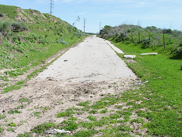
View looking east showing the 2 ft. widening strip. |
|
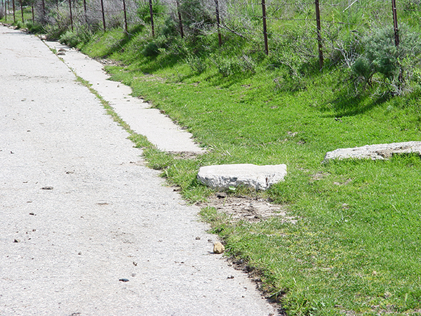
A chunk of the strip broke off here and is overturned. Gives a good view of the concrete matrix. |
|
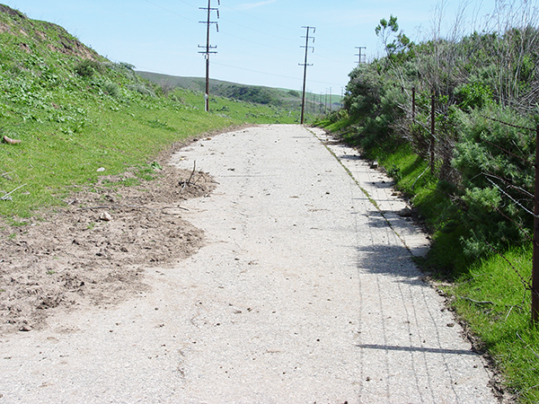
View looking east from further down. |
|
Another angle looking east. Current freeway in background. |
|
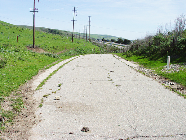
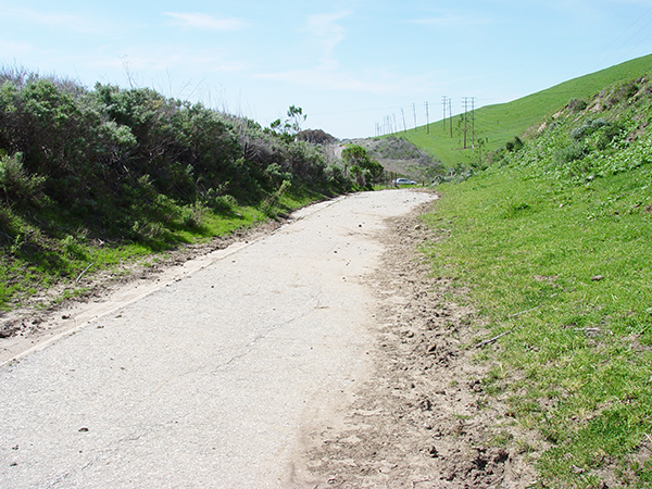
View looking east from the east end of the location. |
|
View looking west. |
Historic101 Home | Section Home
Copyright ©2003 Historic101.com® all rights reserved