
Google Earth view of this location.
View looking east from a bit futher east.

Location #7
|
Google Earth view of this location. |
|
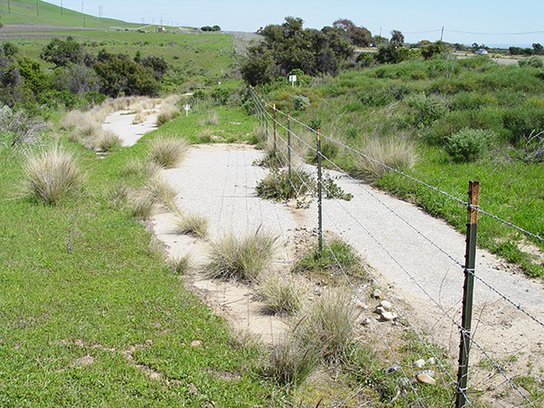
View facing east from near the entrance from the NB freeway lanes. |
|
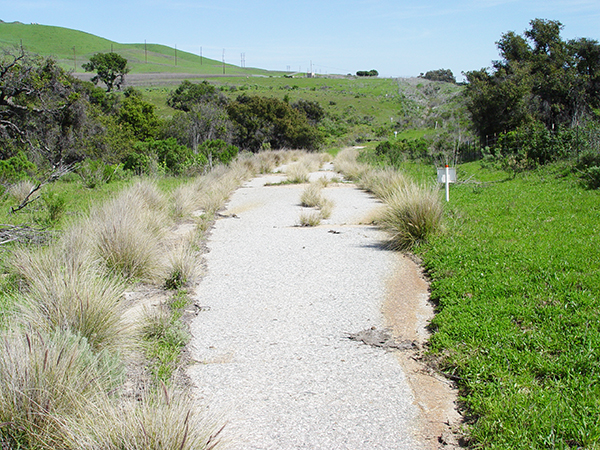
View looking east from a bit futher east. |
|
This is facing west from about the middle of the location. See my car carefully placed next to the ECR bell. |
|
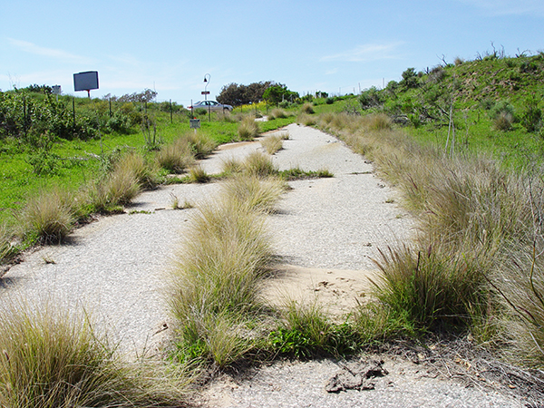
View looking east from further down. |
|
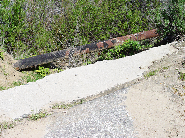
It goes over a small creek here. Note the old pipe. |
|
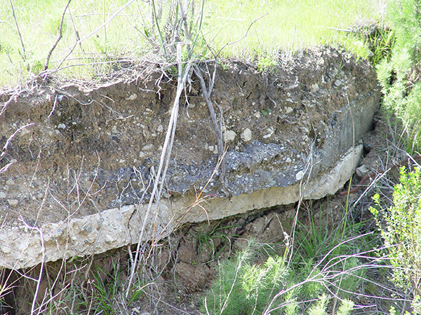
Side view showing the thickness of the slab. |
|
A closer look. |
|
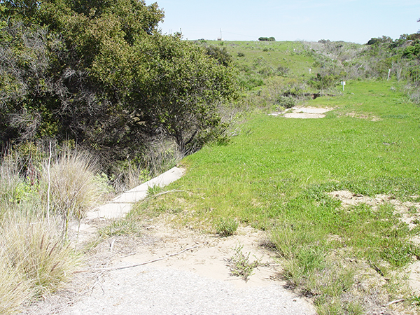
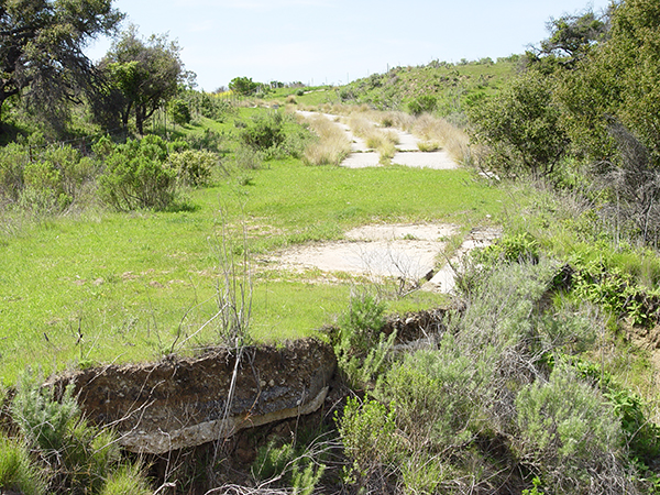
Looking west. |
|
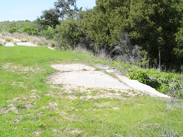
Another look at the widening strip. |
Historic101 Home | Section Home
Copyright ©2003 Historic101.com® all rights reserved