Google Earth view of this location...The original store would be on the lower left near the highway, the restaurant remains are on the upper left, and the 2nd Chevron station would be on the middle right.
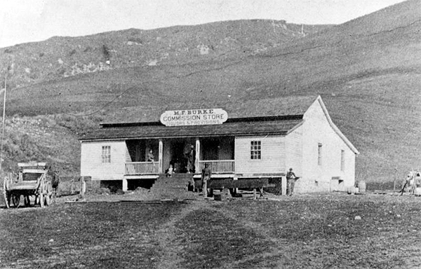
The original Burke Store.
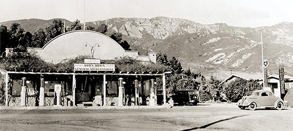
The Gaviota store/ station as it looked in the 30's.
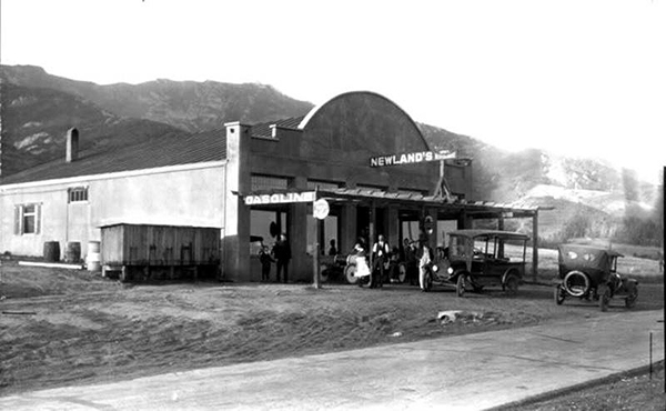
The store when it was first owned by Frank Newland
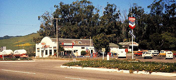
As a Standard/Chevron in the 50's and 60's.
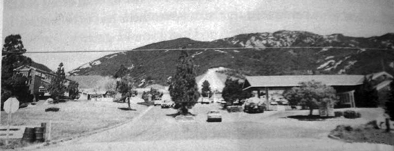
The "Gaviota Village" in the 70's. The original store has been demolished and the restaurant and new Chevron were built.
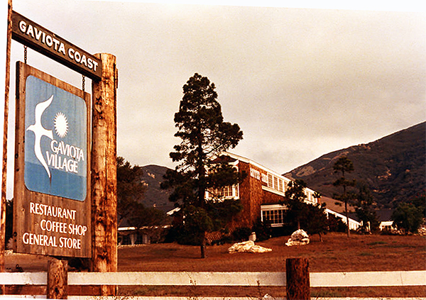
The ill-fated restaurant as it appeared in the 70's.
Looking east. This is the path of the old 1915 highway as it approached the old store.
Looking North. The path leading up to the restaruant.
A corner of the white rock walls that surrounded the old restaurant.
White rocks were also used on the exterior floors.
Another shot of the rock wall looking south.
View looking south of the expansive cement foundation of the restaurant.
The north end of the property showing a foundation of a small building next to the restaurant.
Your guess is as good as mine on what this was. Possibly a bathroom?
A closer view of this hexagonal pattern on the floor.
Another shot looking west showing the exterior floor and rock wall.
The south end of the restaruant. You can see the 101 in the background.
This is the parking area on the northeast area of the property.
This small ruins of a foundation is all that I could find left of the original Gaviota Store.