This bridge is currently the northbound onramp to 101 from Price St. It was used in both directions during the 4-lane construction in the late 1950's.
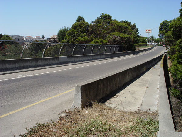
View looking south toward Price St. Note the modification on the right altering the curve of the bridge.
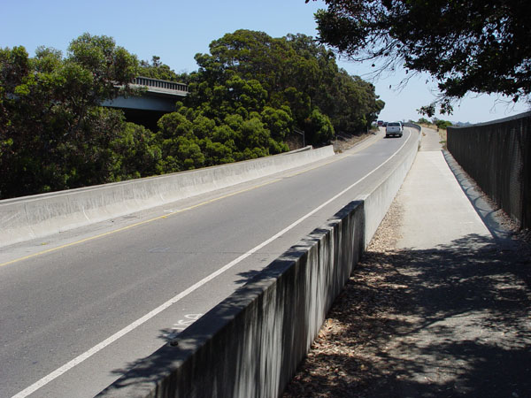
View looking south as it merges onto 101 south.
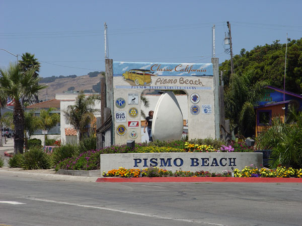
This man-eating cement giant clam is located on the corner near Ocean View and Price St. The route from 1925 to 1956 went through at this spot.
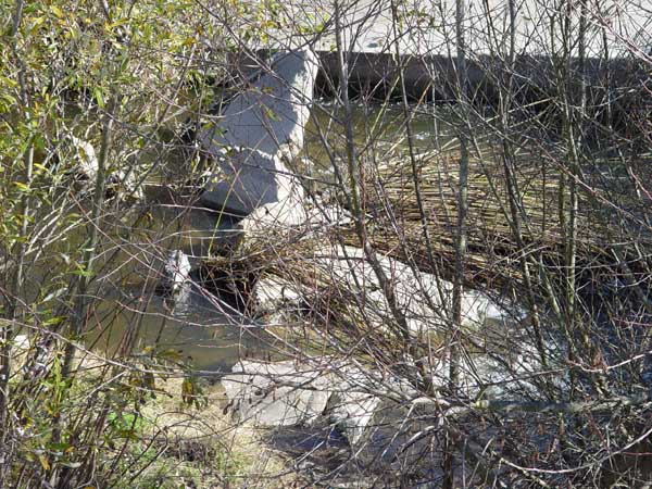
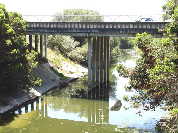
Remnants of the old highway and bridge in the Pismo Creek bed just east of the northbound freeway lanes.
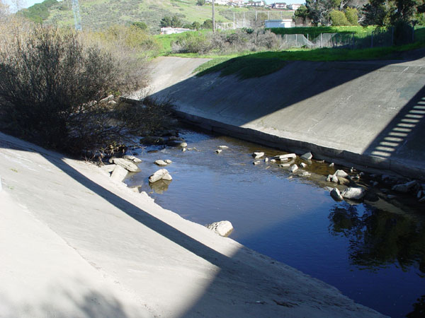
More broken up pieces of the old highway in the creek. Cal-Trans was concerned about erosion so they cemented over the sides of the creek here.
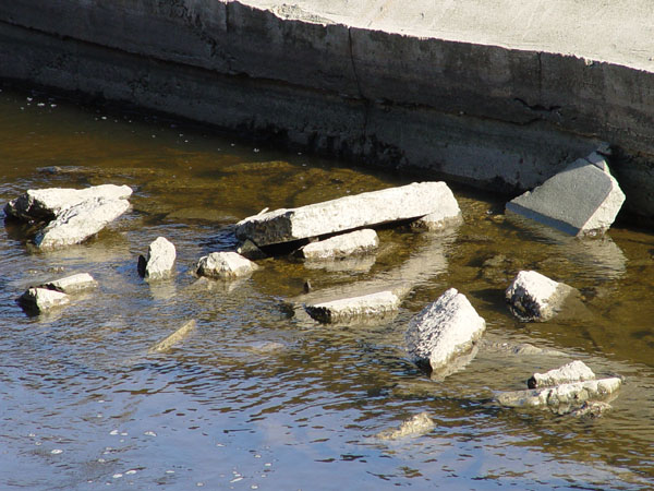
Close-up view.
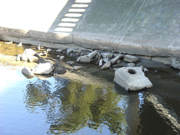
The cement block on the right looks like it may have been the footing for a bridge support.
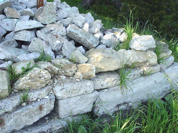
This is part of a wall made up of pieces of the old cement 101. It is behind 446 Ocean View Ave.
View of the wall looking northwest.
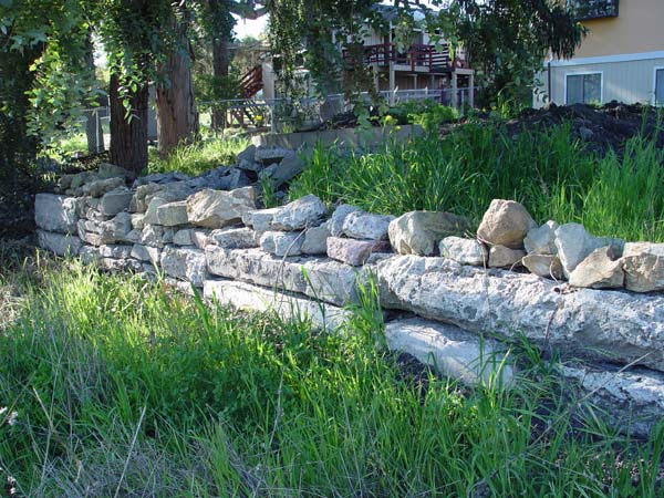
Another shot of the west end of the wall.
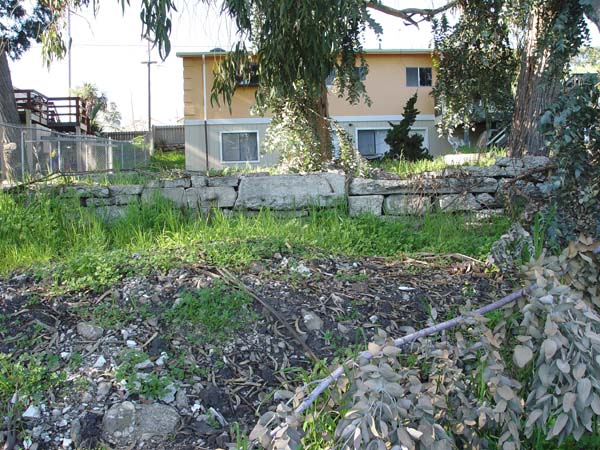
View looking west on Ocean View Ave. Route 2 came this way from 1920 to 1925. It dead ends where it comes up to the current freeway.
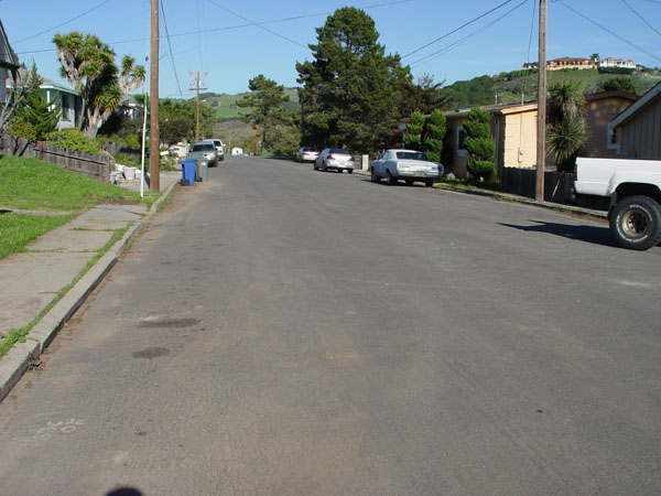
Same location as above. View looking west.
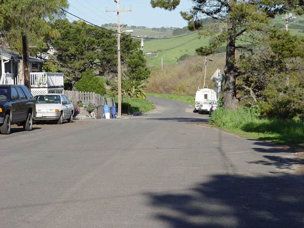
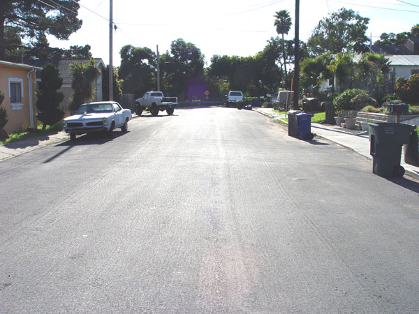
Another view looking west on Ocean View.