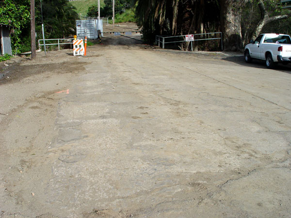
View facing east as the old highway approaches the bridge. Cuesta Canyon Park is to the right.
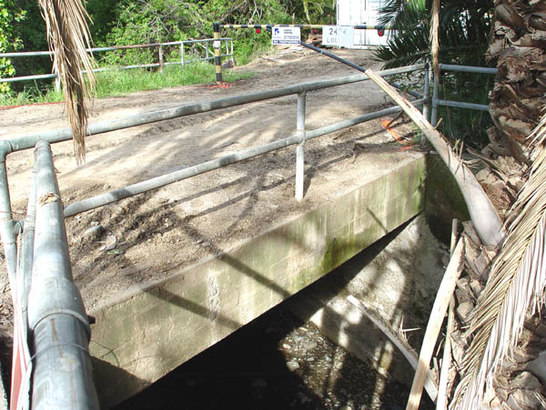
View of the south side of this small bridge.
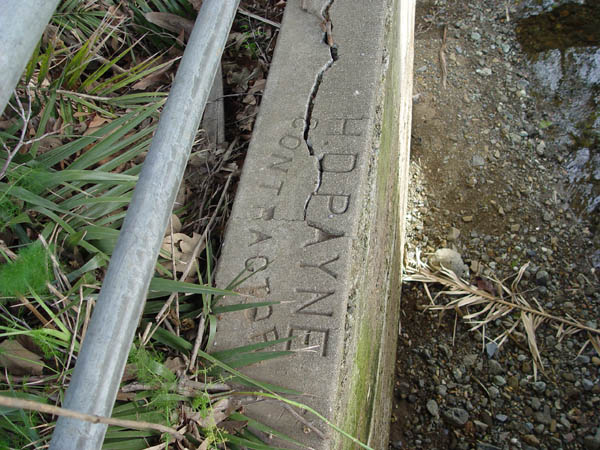
Embedded in the east wall of the bridge is this contractor stamp. H.D. Payne
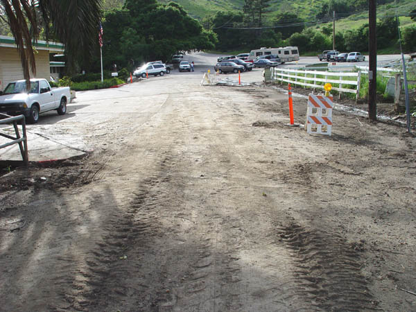
View from the bridge looking west. The park is on the left. The original route curves to the left near the top of the photo on to Miosi Rd.
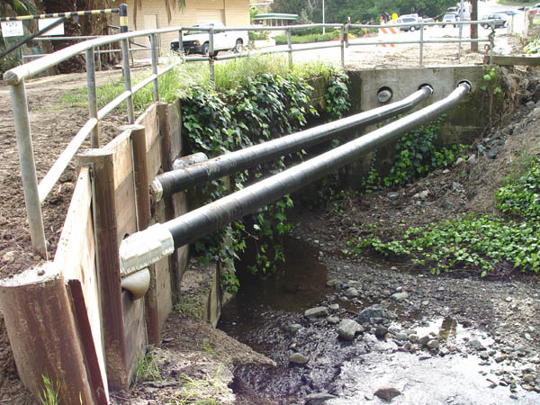
View of the north side of the bridge.
View looking east from the bridge. The grassy knoll is the current freeway which was built in 1952.
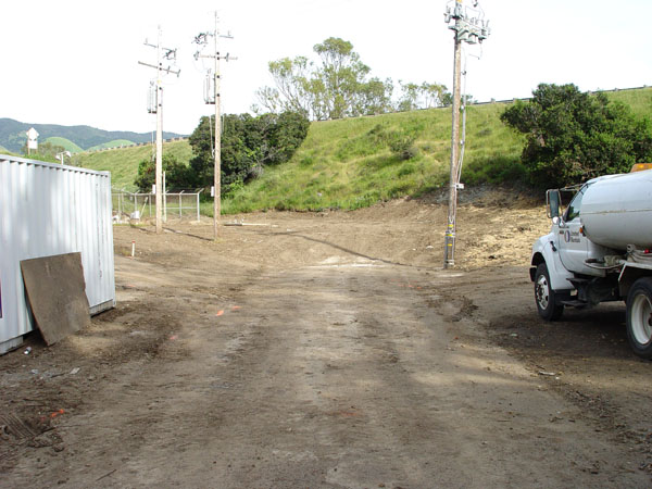
View facing west from the current freeway.
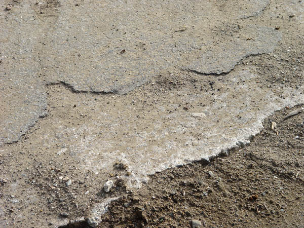
Close-up showing the original cement with the asphalt covering.
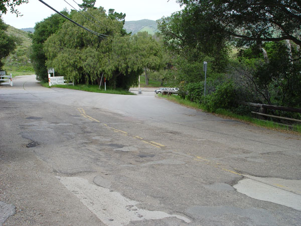
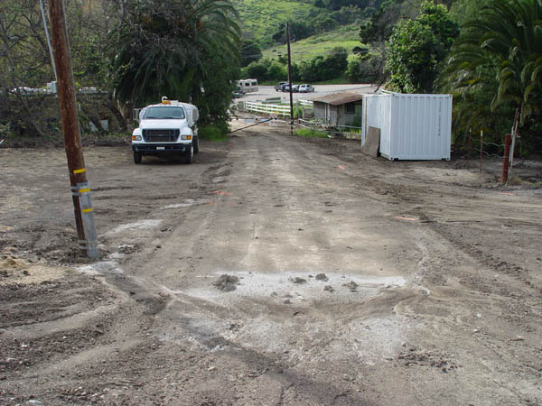
This is a view looking north from Miosi Rd. at the point where the pre-1932 route splits away toward the park.