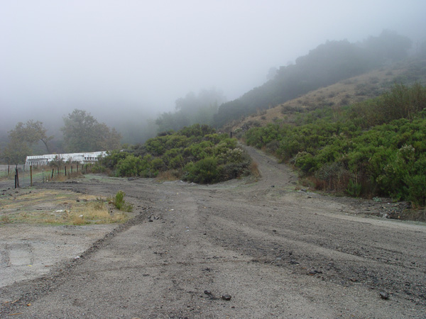
View looking east from the northbound freeway directly across from the "Horseshoe Turn". Access gate is near the center of the picture.
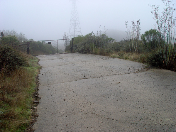
View looking west toward the
access gate.
Same location as above picture,
facing east.
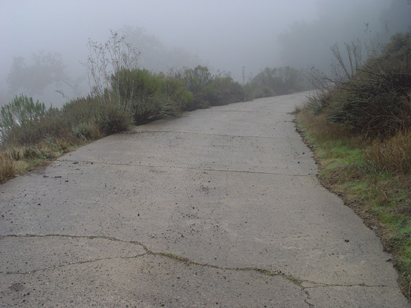
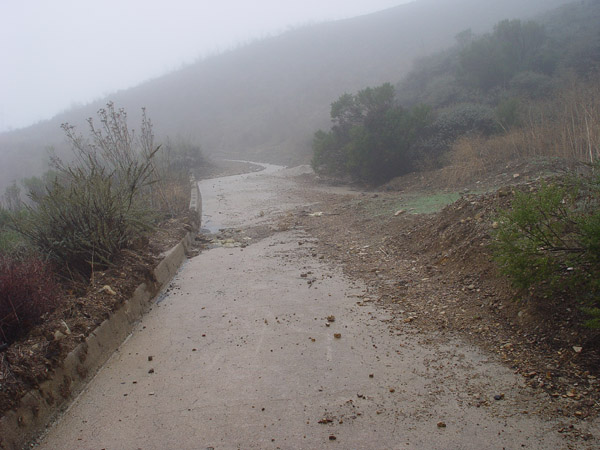
View looking east as the old
cement road enters the first canyon turn.
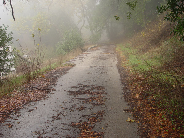
View looking east approaching
the canyon turn. White objects on left are temporary freeway dividers
used during the 2001-2003 Cuesta widening project.
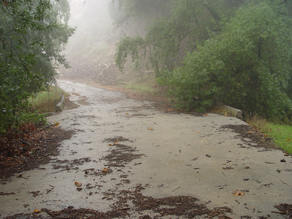
Apex of the first canyon turn.
Looking north. Drainage runs under here near the curbs.
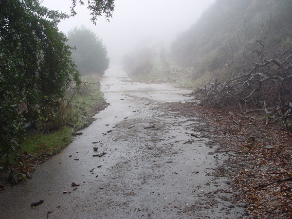
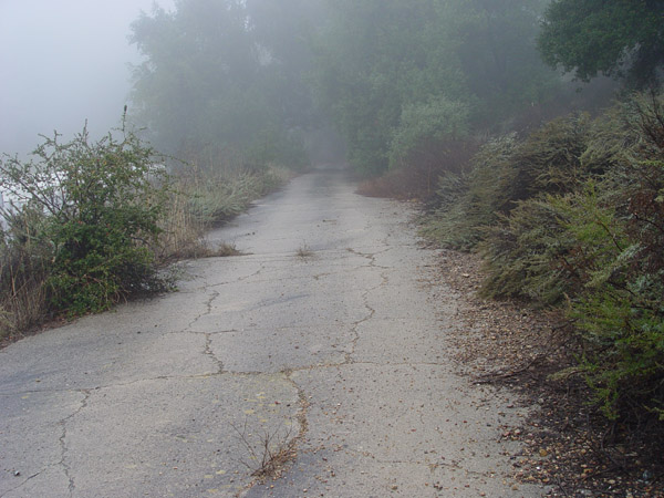
View looking northwest as road
exits the canyon turn.
Looking north as road continues
up the grade.
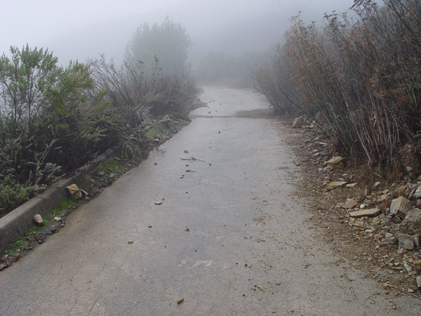
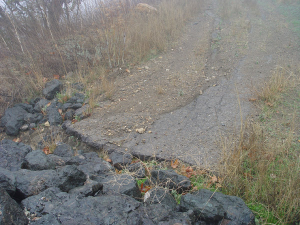
Slumping section looking north
as the old road move up the grade. Higher gravel road forks off to the
right at this spot.
Small area of asphalt patch near
a short rock culvert about 150 yards above the canyon turn.
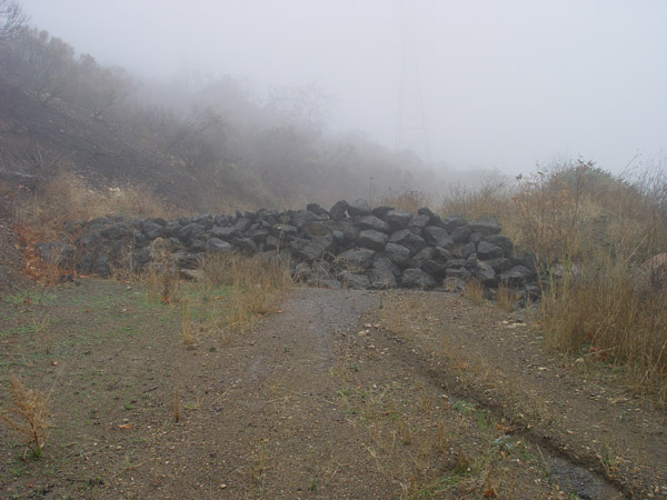
Rock culvert. View looking south.
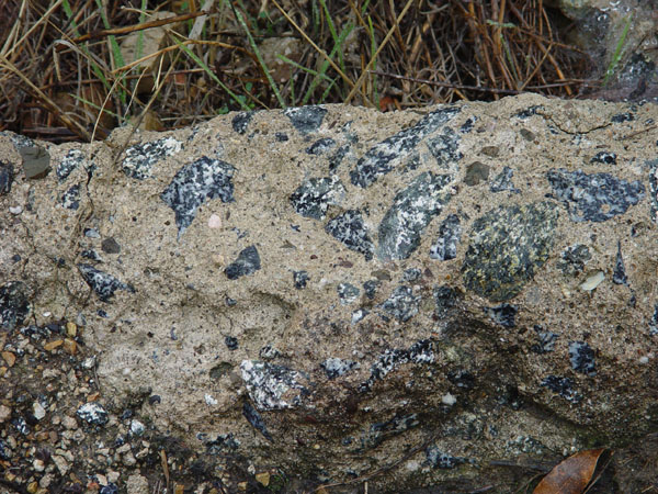
Close-up of broken section of
curb showing the use of dioritic granite in cement composition.