Location #5

This area is just to the north of section #4, about 1.7 miles from the summit of the grade, and on the east side of the current freeway. Very little of the old cement exists in this area, and none of it is drivable. Most of these photos are taken at a large turnout on the northbound freeway as the old road winds in and out of a couple canyons.


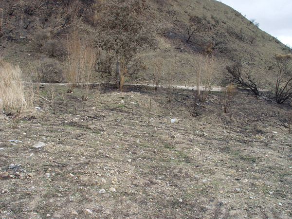
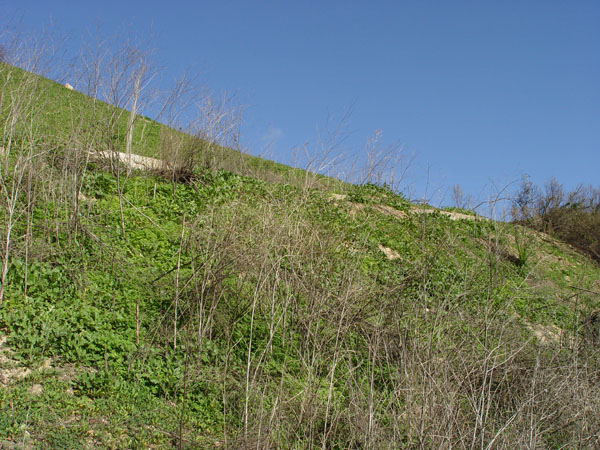
View looking south at the south end of a large turnout. This was exposed after a fire in 2003.


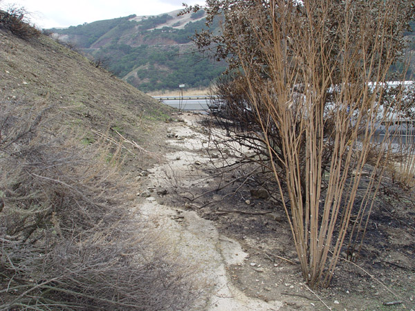
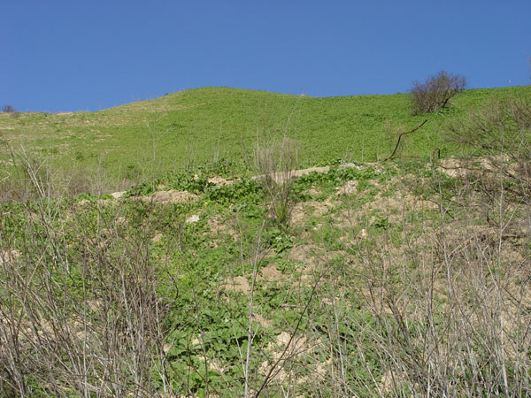
View looking west of the same as above photo. Cement is very deteriorated here.
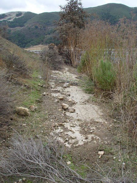
Similar view as above photo.
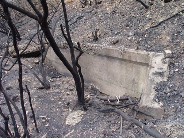
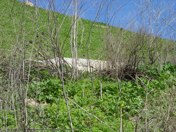
View of drainage culvert at the apex of the curve at the large turnout about 1.6 miles from the summit.
Exposed area of curb on the north end of the turnout.
Another view of the same curb as above.
Closer up view of the same curb section.


Historic101 Home | Project Home | Section Home

Copyright ©2003 Historic101.com® all rights reserved