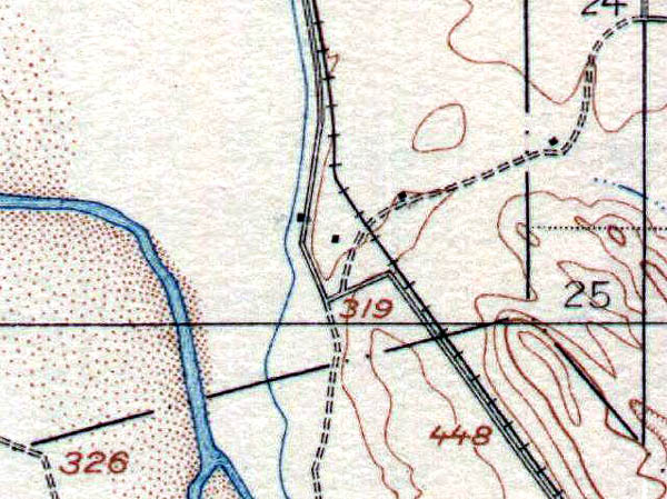
This is from the 1919 USGS topographic map of the area. It shows the detour here, as well as a coupld buildings that are still there today.
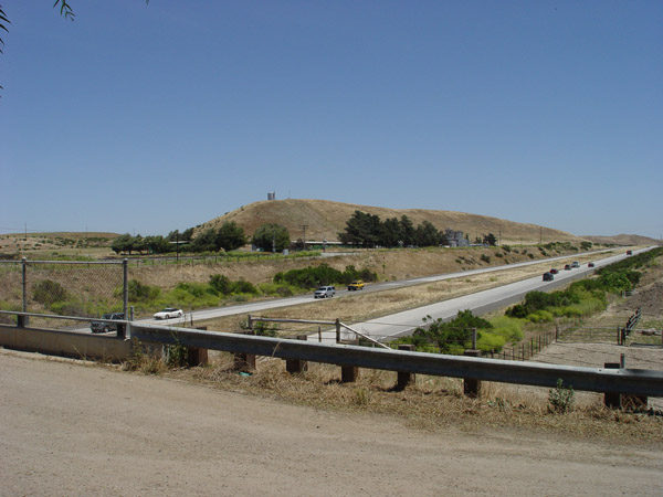
View looking south showing the overpass to the ranch. The old alignment cut over just about where the fence on the right ends.
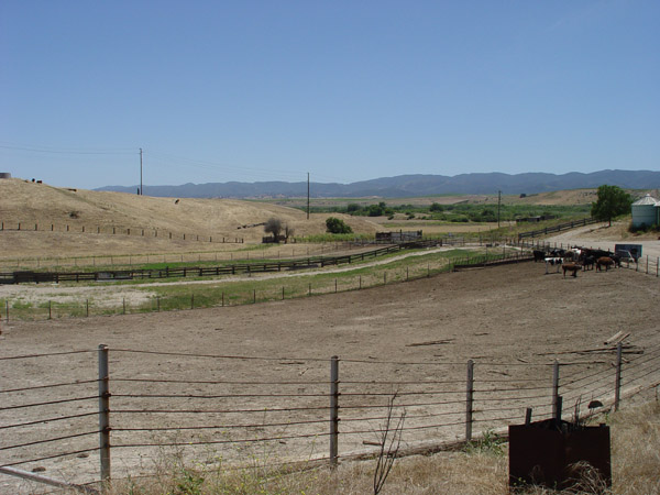
View looking southwest from the ranch. The old route went about where the wooden fence is in the middle of the photo.
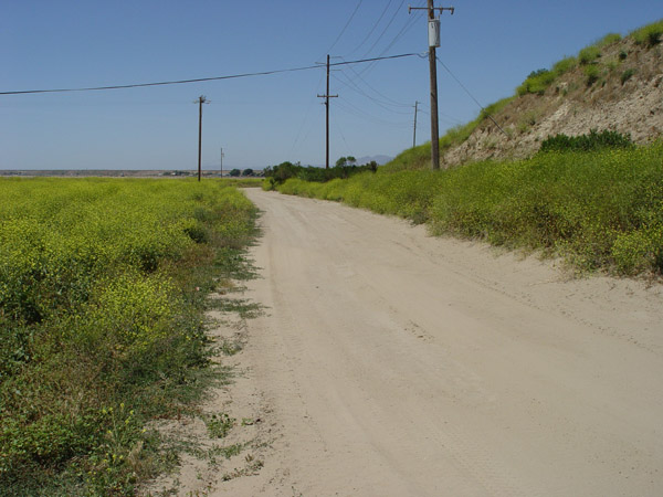
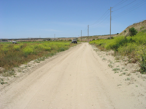
This dirt road is near the old route as it angles back north.
Same as the above photo, a little further to the north.