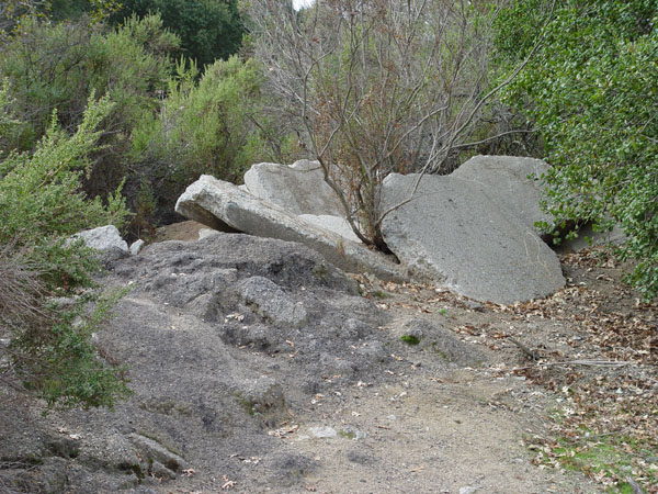
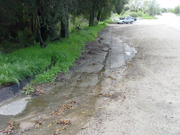
Apparantly, when Cal Trans tore up the old 101 cement highway, they left some of it here. This is behind the Park & Ride area just east of the off-ramp.
A closer view of the same as above.
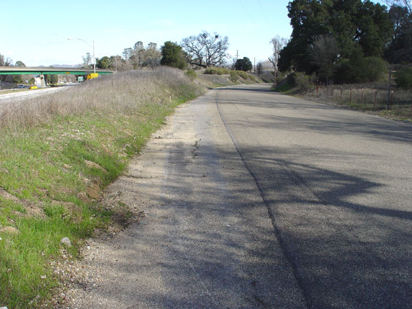
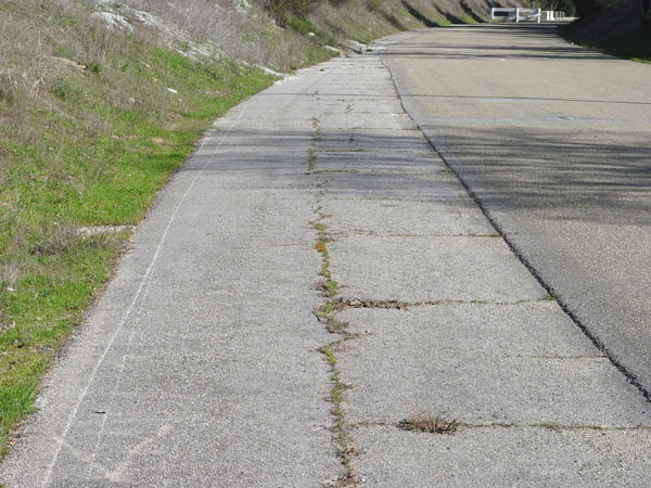
This view is of the PG&E road looking
north about 100 yards south of the Santa Margarita off-ramp. The west
side of the road shows part of the old slab.
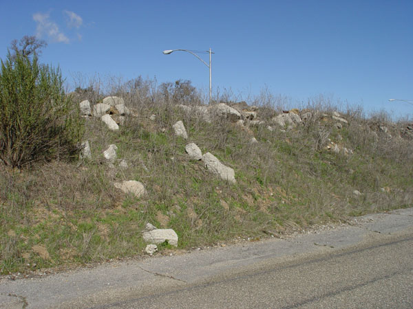
It appears that part of the old highway
was broken up and used as fill between the current freeway, and the PG&E
road.
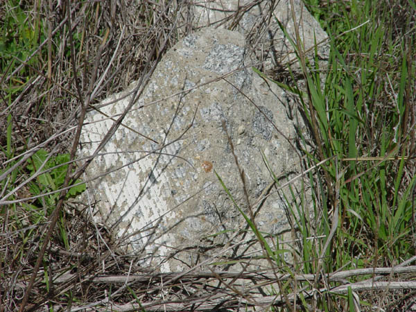
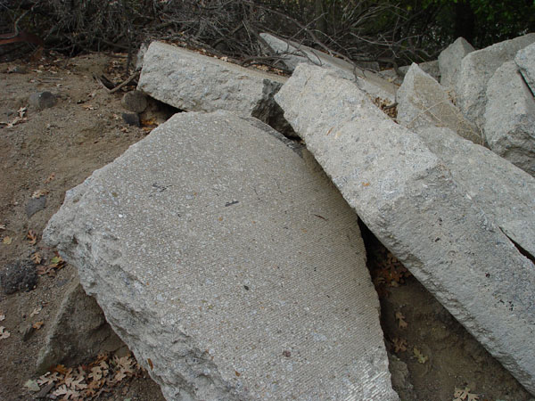
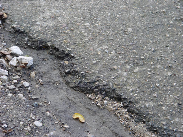
A close-up of some of the material from
the above photo. Note the cut grooves in the cement.
View looking north about 50 yards from
the entrance to the PG&E road showing part of the old highway on the
west side.
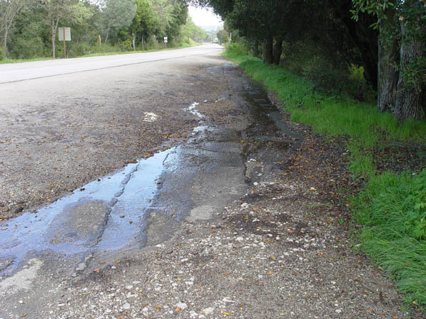
The east end of the park & ride area
at the Santa Margarita turnoff. This is looking east. Its been paved over
a few times, but this is the old 1912 alignment.
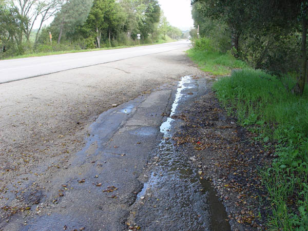
Another shot looking east with El Camino
Real to the left.
Same spot as the above photo. View looking
west.
Close-up showing the multiple asphalt
layers here.