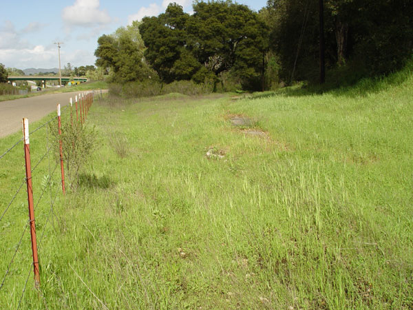
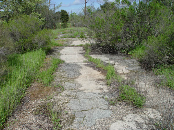
View looking north. That's the PG&E road to the left.
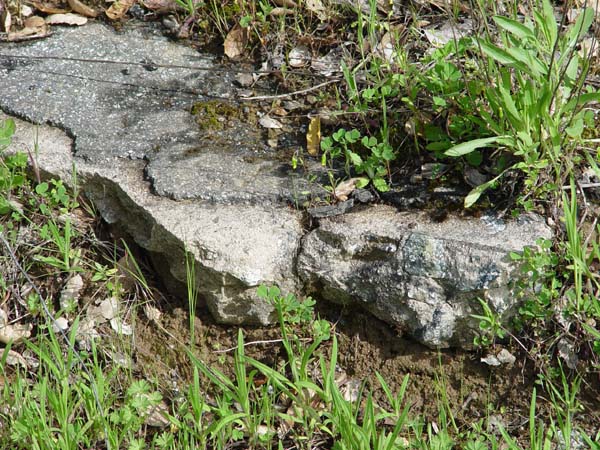
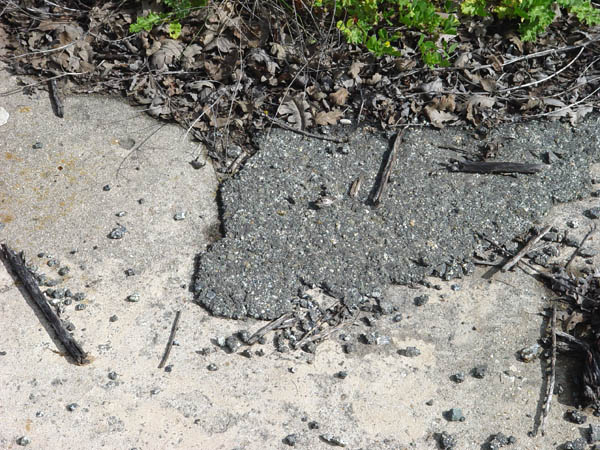
Close-up view of the cement
showing the dioritic matrix and asphalt patching.
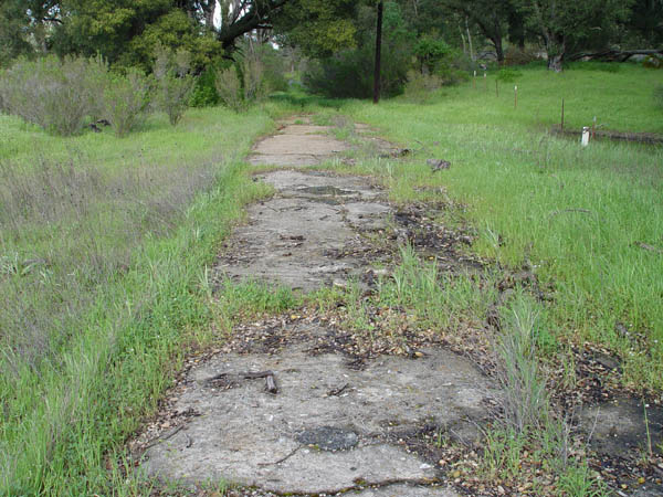
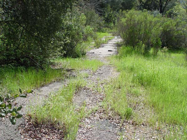
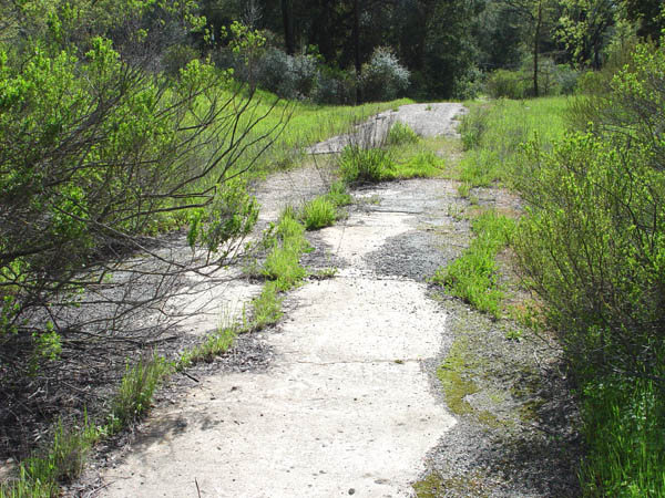
View looking north as the old
road heads into a heavily wooded area.
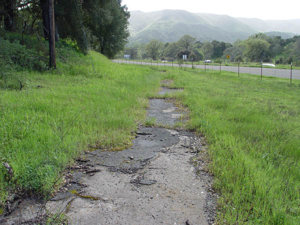
Same location as the above photo
facing south. The PG&E road, and freeway can be seen near the top.
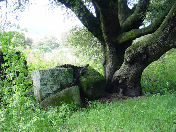
I'm not sure what this big cement
blocks may have been used as.
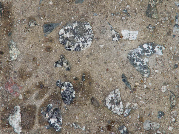
Another shot showing the granite
diorite in the cement.
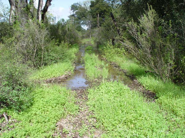
Shot looking north as we enter
a very wet, wooded area.
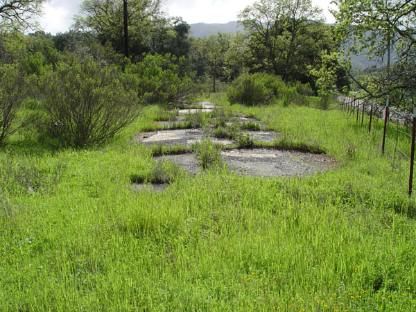
A bit further north of the previous
photo, looking south.
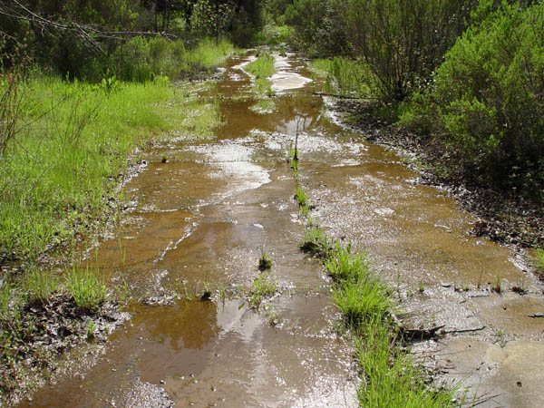
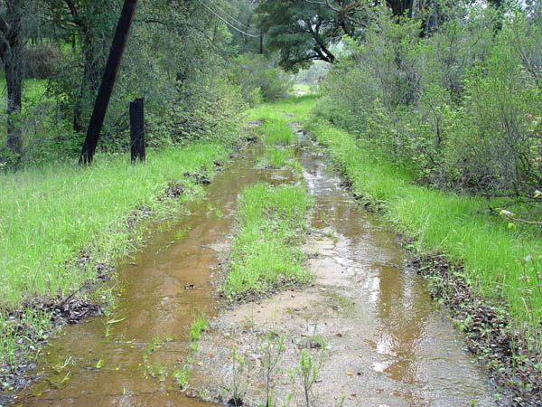
Same place as the above photo,
looking north. This was taken after a pretty wet season, but this drainage
problem must have existed when the road was being used in the early 1900's.
A little further north.
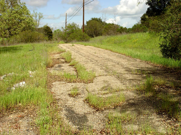
This area of the old highway
has been completely asphalted over with multiple layers.

Close-up showing this thich
asphalt covering in this area that is about 50 ft. long.
Another shot facing south of
this thick asphalt. My guess is that the poor drainage in the area here
may have been why this was done.
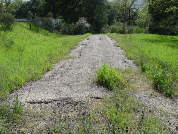
A little further to the north.
View facing north showing exposed cement and asphalt patching.
Same location as the above photo,
looking south.
Close-up showing the old cement,
and patching.
View facing south with the PG&E
road visible on the left.